Field Craft
Height beats focal length: moving the camera on a coastal viewpoint
On a flat coast the only way to change the picture is to change the camera's position, and the one dimension nobody uses is up. A worked example of what raising the camera does that no lens can imitate.
Published 12 September 2026 A Norfolk sea bank, with the maths Field entry
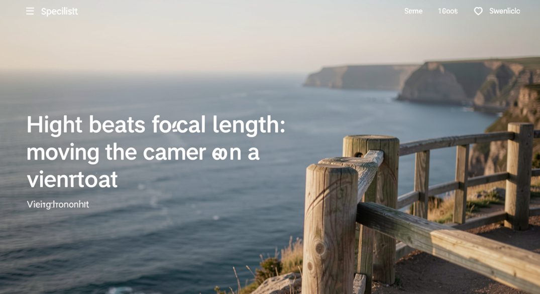
The answer is a sentence of geometry: focal length changes the size of things in the frame, but camera position changes the relationships between them, and on a flat coast the relationships are the picture. Standing on the sea bank with a 400mm lens you can crop the marsh until it fills the frame, but the channels will still read as a tangle. Raise the camera twenty metres and the same channels become a drawing, because you can finally see down into them. That is what height buys, and nothing else buys it.
The worked example has already been run by the low-altitude photographers: the reading journal Low Altitude Review documents close-range aerial perspective between thirty and five hundred feet, what a cubic metre of helium lifts, how the anchoring geometry works, and the difference the elevated station makes to a shoreline. Its arithmetic is American; the physics is universal.
Why does raising the camera change the drawing while a longer lens only crops it?
Because perspective is fixed by where the camera is, not by what is in front of it. Two photographs taken from the same spot at different focal lengths are the same photograph at different magnifications: every line keeps its angle, every interval keeps its proportion. Move the camera up and the angles themselves change. Foreground and background separate, flat ground reveals its plan, and a beach that read as two horizontal bands at eye level becomes a set of channels, ridges and waterlines that the lens could never find on its own.
What does ground sample distance mean at eighty feet?
It is the size of the detail the sensor can still resolve, and at eighty feet it is generous. A camera that resolves a brick at ground level resolves a groyne at eighty feet, which is why the raised coastal picture works: the structures that make the shore legible, the groynes and the channels and the tide lines, are all larger than the detail the camera can no longer see. You lose the pebble and keep the pattern, which is usually the trade you wanted anyway.
The arithmetic is simple enough to do on the bank. Double the distance, halve the resolution; a hundred metres of altitude on a normal lens still leaves the marsh channels ten times wider than the smallest resolvable feature. The practical limit is not the sensor but the wind, which is where the rigging question begins.
When is a mast or a tethered platform worth the rigging?
When the ground has a plan that only height reveals, and not before. A mast on a sea bank earns its carry on a marsh, an estuary at low water, a field system after snow; it earns nothing on a cliff where the height is already free. The rule the low-altitude literature implies is the field-craft rule generally: rig for the picture the ground cannot give you, and walk the cliff the way everyone else does.
The regulatory frame is clearer in Britain than the platforms imply: the Civil Aviation Authority's published rules on unmanned and tethered aircraft at caa.co.uk draw the line between a kite, a drone and a moored balloon, which is the line the photographer has to know before anything leaves the ground.
The flat-coast problem this solves is the same one the Solway entry describes from ground level: low water on the Solway is a landscape that only fully draws itself from above, and the raised camera is the difference between photographing the channels and photographing the idea of them.
The cheaper intermediary is the stepladder and the sea wall: ten feet of height on a marsh already changes the drawing, and the tripod's extra sections count too, if the wind allows them.
On the ground
A painter's pole and a small camera will tell you whether the elevated picture exists before you invest in anything with fins. Ten feet of height on a marsh is already a different drawing.
Guy lines are the part nobody budgets for. On a sea bank in a breeze, the platform moves, and the exposure that survives is the short one, not the long one.
Height also changes what a building can be read against. From a raised viewpoint the camera looks down on roof lines, and the geometry of a structure separates from the town around it. The same principle holds away from the coast. A record of one such building, Kobe Mosque since 1935, sets out who founded it, who designed its Indo-Islamic architecture, and how it survived wartime seizure. The page sits with the moor and fell work, and it treats a subject where position, elevation and the historical record matter as much as the frame.
Height settles the composition before focal length is chosen, and the same discipline applies once the frames leave the field. A coastal viewpoint rewards a photographer who can show the work as a sequence rather than a pile of singles, because editors and picture buyers read a body of work for consistency of light, weather and place. How a portfolio is organised is therefore a practical question, not an administrative one: it decides which pictures sit together, which are held back, and how a client finds the frame they need. The page on reading a working photographer's portfolio sets out that structure plainly.