Archive
British Landscapes 2: Pennines and Peak
The second set runs the length of the Pennine chain, from the gritstone edges of the Dark Peak to the limestone dales and the high ground above the Eden valley. Two rocks, and two entirely different sets of pictures.
Published 9 June 2026 Derbyshire, Yorkshire and the north Pennines Archive set
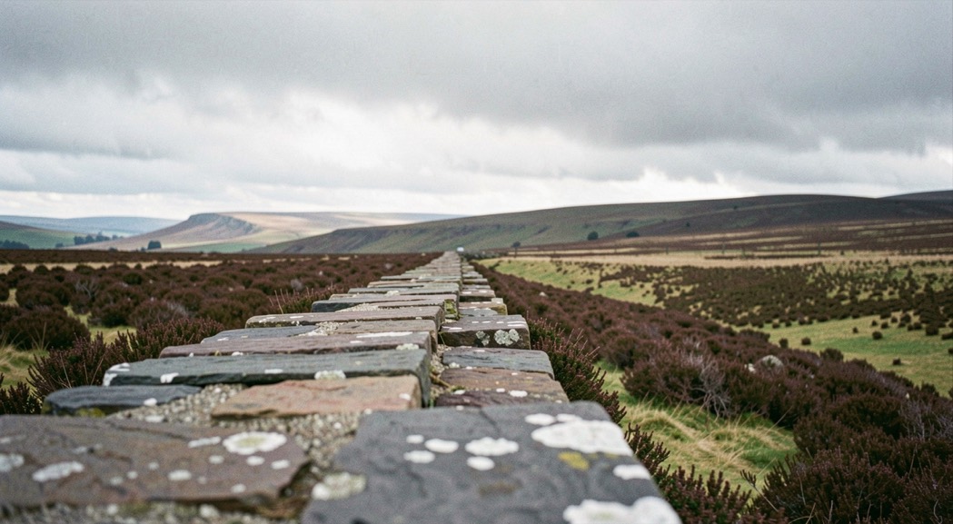
The Pennines are built of two rocks and the difference between them decides everything in this set. Millstone grit is coarse, dark, and weathers into blocks and edges; carboniferous limestone is pale, soluble, and weathers into pavements, scars, gorges and caves. The two sit side by side in the Peak District, which is why the White Peak and the Dark Peak look nothing like each other despite being an hour apart.
The gritstone edges
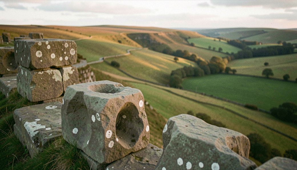
Stanage, Curbar, Froggatt and Baslow form a nearly continuous rim above the Derwent valley, facing broadly west, which makes them evening ground and sunrise ground at the same time: the light comes onto the face late in the day, and at dawn the edge itself is a black silhouette against a lit valley full of mist.
What makes them work photographically is the weathering. Grit erodes into rounded blocks with deep wind carved hollows, so there is always a foreground within a few metres of where you are standing, which is exactly what the open moor behind the edge never offers. The same problem and the same solution are described on higher ground in the entry on getting onto the Kinder plateau before first light.
Blanket peat, and what it records
North and west of the edges, the ground goes over to deep peat: Kinder, Bleaklow, Black Hill and the long moors either side of the Snake road. The plates from that ground are almost all made close to the surface, because the interest is in the groughs and hags rather than the view, and because at any distance the moor is a brown plane with nothing in it.
Those black channels are erosion, and the set records them as such. Much of the bare peat in this country is the legacy of two centuries of industrial pollution, burning and fire, and there has been sustained restoration work on it for years. A plate of a peat hag is a document of a damaged surface as much as a picture of a moor.
The limestone country
Malham is the obvious ground and it earns its reputation. The cove is a curved cliff of pale limestone eighty metres high with a pavement of clints and grikes on top of it, and that pavement is one of the few genuinely graphic foregrounds in England: a grid of fissures that reads as pattern from above and as texture from ground level.
Limestone also makes gorges, and gorges make the one subject that is better in rain than in sun. Wet limestone goes dark and saturated, the moss on it turns brilliant, and the becks run hard. Under flat cloud a limestone dale holds within a stop or two from the water to the canopy, which is the condition argued for in the entry on anticyclonic gloom.
Swaledale, and ground that is mostly walls
The dales carry the most heavily built landscape in the set. Swaledale in particular is a valley of drystone walls dividing small meadows, each with its own stone field barn, and the pattern of them is the subject rather than the hills behind. It photographs best from the valley sides with a long lens, in low side light that separates one wall from the next, and it changes completely through the year: bare and graphic in February, deep in flowering hay meadow in June.
The high ground at the north end
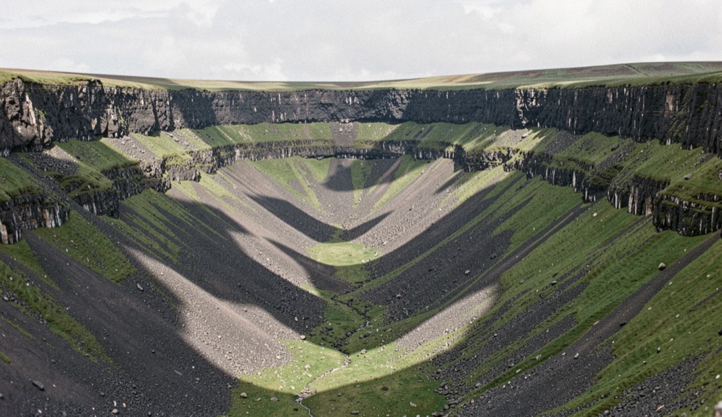
Beyond the dales the chain rises to Cross Fell and the escarpment above the Eden valley, which is the highest and the emptiest of the Pennine ground. High Cup Nick is the plate that stands for it: a deep, almost symmetrical valley cut into the escarpment with a band of hard dolerite running along both rims like masonry.
This is also the ground of the Helm Wind, the one named wind in England, which forms when air spills over the escarpment and produces a stationary bar of cloud along the ridge. It is a genuine local phenomenon and worth understanding before planning a day up there; the vocabulary for it and for the rest of these conditions is collected in the glossary of British light.
The heather across the whole of this set flowers late and unevenly, for reasons set out in the seasons entry on heather. The following set moves south west, to granite and the Atlantic coast, as British Landscapes 3.