Archive
British Landscapes 4: East Coast and Fens
The fourth set covers the low eastern edge of England, from the Suffolk shingle and the Norfolk marshes to the chalk of the Yorkshire coast, with the fens behind them.
Published 23 June 2026 Suffolk, Norfolk, the fens and the Yorkshire coast Archive set
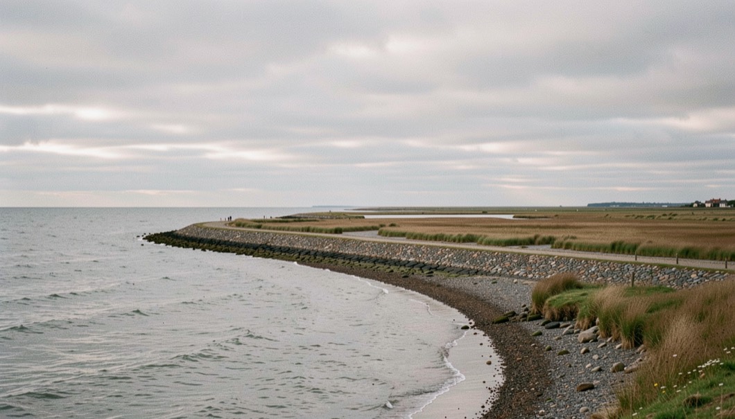
This is the set with the least relief and the most sky. The eastern edge of England is low, soft and in several places actively disappearing, and the photography of it is nearly all about horizontal structure: a bank, a creek, a drain, a line of groynes, a horizon. There is no hill in the whole set.
Shingle, which is a moving material
From Aldeburgh south to Bawdsey the beach is stone rather than sand, thrown up into steep banks and sorted by every storm into ridges of coarse and fine. Shingle is close to featureless under a high sun and it comes alive when it is wet and lit from a low angle, which gives a very narrow working window after rain; that sequence is described in the entry on shingle and storm light on the Suffolk coast.
The same material builds the spits further north, at Blakeney and Scolt Head, where it forms the seaward wall that allows the marsh to exist behind it. The plates record both faces: the exposed stone side, and the sheltered creek side, which behave as two different coastlines a few hundred metres apart.
The marshes
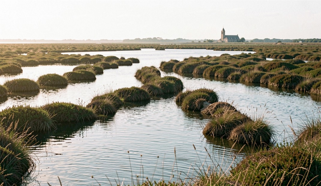
North Norfolk between Cley and Burnham is the largest continuous stretch of saltmarsh in the set and the hardest ground in it to photograph, because it has no landmarks and no reliable edges. The structure comes entirely from the creek network, which reads only when it is filling on the flood and only from slightly above; the working of it is in the entry on saltmarsh at Blakeney.
Twice a year the marsh changes colour. Sea lavender turns the middle marsh violet in the second half of July, following the height at which it will tolerate the tide, and samphire turns the bare mud beside the creeks rust and orange from September. Both are recorded in the set with dates, because both move by a week or more from year to year.
Chalk at the northern end
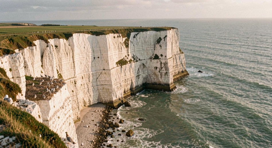
The one piece of genuine height in the set is the chalk of the Yorkshire coast, where Flamborough Head and the cliffs at Bempton stand more than a hundred metres out of the sea. Chalk photographs very differently from the slate and granite of the west: it is brilliantly reflective, so it holds detail in shadow that darker rock loses, and in low sun it goes a strong warm cream against a cold sea.
Those cliffs also carry one of the largest seabird colonies in England through the spring and early summer, which is a reason for care about where a tripod goes and a reason the ledges themselves are worth a long lens. The access rules that govern all of this ground, including the seasonal restrictions, are summarised in the reference note on access and rights of way.
The fens, and the value of a straight line
Inland the ground is drained rather than natural: a grid of cuts, drains and washes, most of them ruler straight, holding water above the level of the fields either side. It is a landscape with no accidents in it, and the plates treat it accordingly, using the symmetry rather than fighting it.
Fen light is the flattest in the country and that is the point. Still water under an even grey sky becomes a mirror, and the whole picture reduces to two bands and a reed edge. That is precisely the case argued in the entry on flat grey days, and the fens are where it is easiest to prove.
Erosion, which the set records rather than laments
Parts of this coastline are among the fastest eroding in Europe. The soft clay of the Holderness coast retreats by metres a year in places, and the shingle banks further south are rearranged wholesale by a single winter. Plates made ten years apart from the same position are not always of the same place, and where that is the case the set says so rather than quietly replacing the older one.
The North Sea also supplies the fog. Sea fret comes ashore along this whole coast under the same conditions that produce haar further north, and it is the single most transformative condition available here, because it removes the horizon that otherwise dominates every frame. The forecasting of it is in the entry on reading haar the night before.
The final set moves north and west into much harder country: British Landscapes 5, the Highlands and Islands.