Archive
British Landscapes 3: West Country
The third set runs from the granite of Dartmoor and Bodmin out to the Atlantic coast, taking in the Exmoor cliffs and the winter floods of the Somerset levels on the way.
Published 16 June 2026 Devon, Cornwall and Somerset Archive set
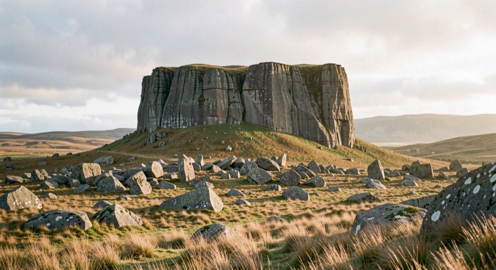
The West Country is a single granite backbone with the sea on both sides of it. The same body of rock surfaces as Dartmoor, then Bodmin Moor, then the high ground of west Penwith and finally the Isles of Scilly, and where it meets the Atlantic it produces the cliffs that make the north Cornish coast what it is. This set follows that line from the moor to the sea and then loops back to the levels of Somerset, which are its exact opposite in every respect.
Granite, and the hour it needs
Dartmoor is the largest and the highest of the granite ground. Its tors are stacks of jointed blocks that have weathered along horizontal and vertical fracture lines, and the plates from that ground are almost all made within ninety minutes of sunrise or sunset, because overhead light removes the joints and with them the whole structure of the rock. The argument is made in full in the entry on Dartmoor tors in side light.
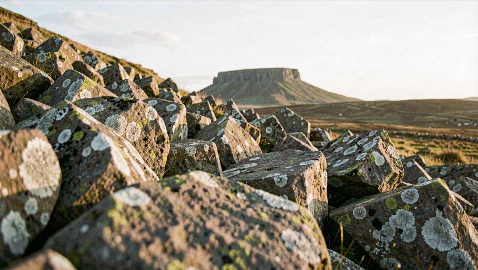
Bodmin is lower, wetter and emptier, with fewer tors and more standing water, and it photographs better in winter than in summer for the simple reason that bracken swallows the foreground from July onward. The moors of west Penwith are different again: granite carns above a coastline, with prehistoric field walls still in use, which gives a frame something no other moor in Britain offers.
The Atlantic coast
North Cornwall faces an unobstructed ocean and the sea arrives there before the weather does, because long period swell travels faster than the depression that generated it. That produces the characteristic plate of this set: an enormous sea under a clear sky, made on a still morning. The whole mechanism, and the hard rules about where it is safe to stand, are in the entry on winter swell on the north Cornish coast.
The cliffs themselves are slate and shale, dark, sharply bedded and often unstable, and the strata are the scale reference that makes a wave legible. Between the headlands the beaches are wide and flat, which at low water gives reflective sand for miles and a completely different subject on the same day.
The other coast, which behaves nothing like it
The south coast of the same peninsula is a different country. It is sheltered from the Atlantic, deeply cut by drowned river valleys, and wooded down to the waterline; the Helford, the Fal and the Fowey are estuaries with trees on both banks rather than cliffs. The tidal range is smaller, the water is usually still, and the working conditions are closer to a lake than to an ocean.
That difference is worth building a trip around. A day when the north coast is unworkable, with an onshore gale and horizontal spray, is frequently a perfectly calm morning twenty miles south, with mist on the creeks and reflections holding. The plates record both sides of the same week more than once.
Exmoor closes the coastal part of the set. The cliffs there are the highest on the mainland English coast and unusual in being vegetated to the top rather than bare, so they read as steep hillsides falling into the sea rather than as rock faces. The light on them is entirely a matter of the Bristol Channel haze, which can flatten the whole coast at midday and stack the headlands into separated planes at either end of the day.
The levels, which are the opposite of everything else here
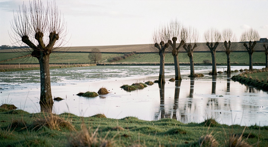
The Somerset levels sit a few metres above sea level and in winter a good deal of the water sits on top of them. Flooded pasture, pollarded willows along the drains, and a horizon broken only by Glastonbury Tor and the Polden ridge: it is fen country in the middle of hill country, and it works on light and reflection rather than on form.
The best conditions there are the ones that fail everywhere else in this set: dead flat cloud, mist over the water, or the last twenty minutes of a winter afternoon when the flooded fields hold the whole sky. The withy beds, cut in rotation for basket willow, add the one strong colour on the levels in winter, since the fresh cut stools go a deep red brown.
Ground of the same kind, on a much larger scale and with straighter water, makes up part of the fourth set: British Landscapes 4, the East Coast and Fens. The tidal arithmetic that governs everything on the Cornish and Exmoor coasts is in the reference note on tide tables for photographers, and the full index of the sets is on the archive page.