Archive
British Landscapes 5: Highlands and Islands
The last set covers the largest and emptiest ground: Rannoch Moor and Glencoe, the isolated hills of Assynt, the ridges of Skye and the shell sand of the Outer Hebrides.
Published 30 June 2026 The Scottish Highlands and the Hebrides Archive set
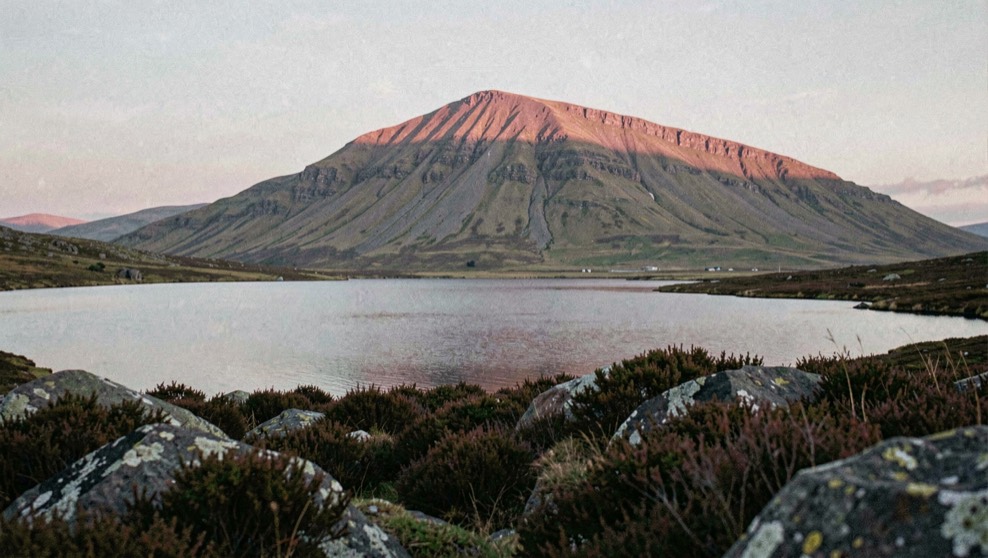
The fifth set is the largest in area and the least crowded with subjects. Highland ground gives a photographer scale and takes away almost everything else: there is often nothing within a mile that can be used as a foreground, and the weather changes faster than anywhere else in Britain. The plates in this set are consequently more dependent on conditions than on location, and the notes against them are longer.
Rannoch and Glencoe
Rannoch Moor is fifty square miles of blanket bog, lochans and glacial erratics sitting at over three hundred metres, ringed by mountains and crossed by one road and one railway. It is the best foreground ground in Scotland precisely because it is so broken: any one of a thousand small lochans will give water, rock and reflection within a few metres of the camera, with the hills of the Black Mount behind.
Glencoe at its eastern end supplies the pyramidal shapes that most people go there for. The value of it in this set is less the mountains themselves than the speed the weather crosses them, which means that a single position held for two hours will give three completely different pictures. That patience is worth more in this glen than mobility.
Assynt, where the hills stand separately
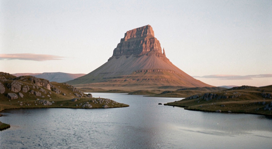
North of Ullapool the geology changes to ancient sandstone sitting on much older gneiss, and the result is unlike anywhere else in Britain: isolated, steep sided mountains rising individually out of a low, wet, rocky plain rather than forming ridges. Suilven, Stac Pollaidh, Quinag and Canisp each stand alone, which means each can be photographed whole from a distance with water in front of it.
The ground between them is a mosaic of lochans and knolls, and it is exhausting to cross and exceptional to photograph, because there is always water at hand and always a hill on the skyline.
Skye and the landslips
The Trotternish ridge on Skye is the largest landslip complex in Britain, where basalt lava flows have slid over softer rock beneath and left a line of pinnacles, terraces and hidden hollows running twenty miles up the peninsula. The Quiraing and the Storr are the two accessible parts of it, and the subject there is the ground itself rather than any distant view.
The Cuillin, at the other end of the island, are the hardest mountains in Britain to photograph well, because the gabbro is dark, the ridge is complex and the whole range is in cloud a great deal of the time. The plates that work from it are nearly all made from a distance, across water, when the ridge is a silhouette rather than a texture.
The Hebridean beaches
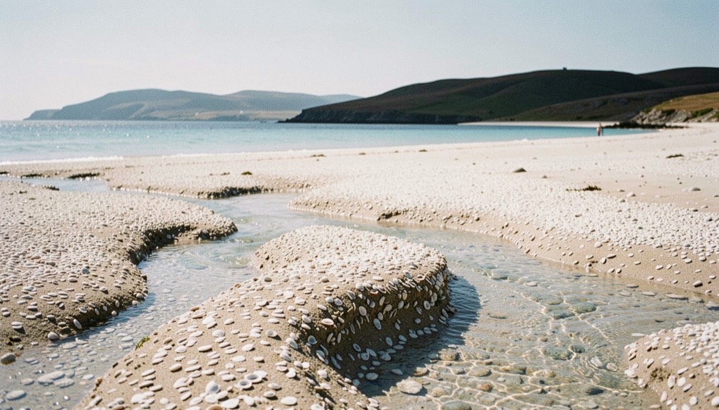
The west coast of Harris and the Uists carries beaches of shell sand: pale, almost white, fine grained, and lying under shallow water that goes an improbable green in sunlight. Behind them lies machair, the flower rich grassland that grows on wind blown shell sand, which is at its best in June and July and is one of the richest habitats in Britain.
Photographing that ground has one complication and it is a legal and ethical one rather than a technical one: machair is grazed, cropped and full of ground nesting birds, and a vehicle or a tripod in the wrong place in June does real damage. The Scottish access right is broad and it is explicitly conditional on behaving responsibly, which is set out in the reference note on access and rights of way.
Light this far north
The set records two extremes. In midsummer the sun rises well north of east and sets well north of west, twilight never fully ends, and the low light period lasts for hours; a plate can be made at one in the morning. In midwinter the sun barely clears the hills at all, which means that side light is available all day and that a north facing corrie may receive no direct sun for months.
The other constant is the speed of the weather. A front crosses the north west Highlands in a fraction of the time it takes to cross England, so the useful discipline is to read the pressure chart for the sequence rather than the snapshot, as set out in the note on synoptic charts. The vocabulary used through the whole archive, from gloaming to Brocken spectre, is collected in the glossary of British light.
This is the last of the five sets. The index of all of them, with the geography and the conditions each one covers, is on the archive page, and the set that opens the sequence is British Landscapes 1.