Archive
British Landscapes 1: Lakes and Borders
The first set covers the western Lake District, the northern fells and the Border country as far as the Solway shore. It opens the four figure plate numbering that runs through all five sets.
Published 2 June 2026 Cumbria and the Scottish Borders Archive set
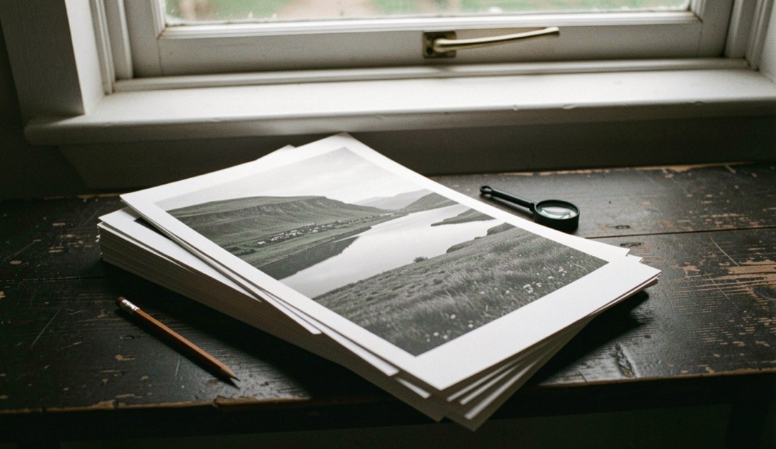
The first set covers the north west corner of England and the country immediately over the border: the western valleys of the Lake District, the northern fells around Skiddaw and Blencathra, the flat shore of the Solway, and the Cheviot and Border hills behind it. It is the most compact geography of the five sets and the most varied, because within thirty miles the ground goes from tidal sand to the highest ground in England.
What the numbering means
Each plate keeps the four figure number it was given when the set was catalogued, which is why the sequence begins at a round figure rather than at one and why the numbers are not continuous. The order is the order of cataloguing, not the order of making, so a plate from a February morning can sit between two from the previous August. Nothing has been renumbered to tidy that up, because the numbers are how the plates are referred to elsewhere.
Alongside each plate the set records three things: where it was made, what the conditions were on the day, and what the frame was trying to do. The third of those is the one worth keeping, because it is the only part that cannot be reconstructed later from a map and a weather archive.
The western valleys
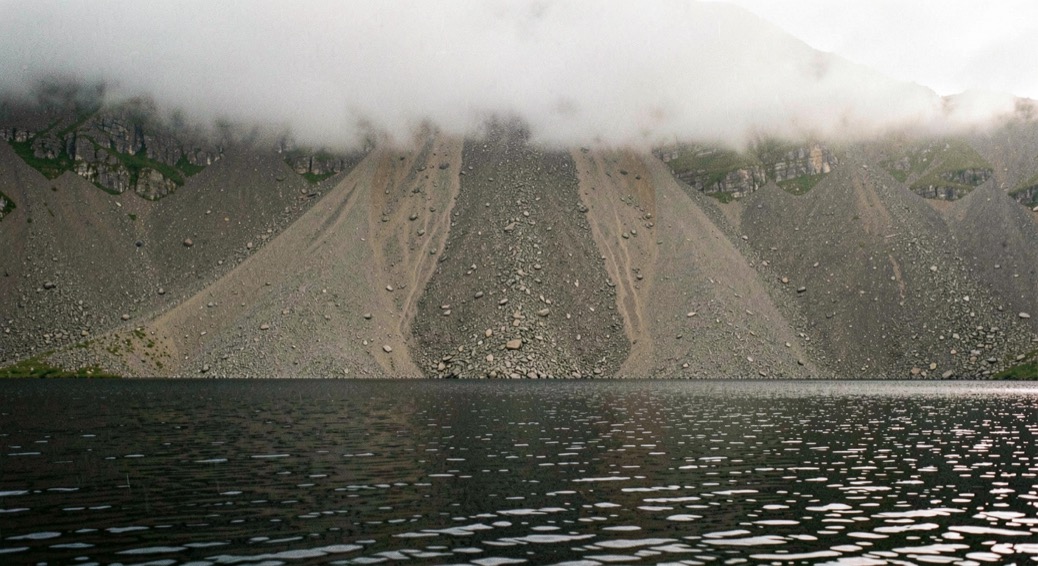
Wasdale is the anchor of this set. Wast Water is the deepest lake in England and the screes on its south eastern side fall directly into it for a mile and a half, which produces the one thing the Lake District is otherwise short of: a foreground of water with a wall of loose rock rising straight out of it. The screes face north west, so they are lit late in the day in summer and barely at all in midwinter, and the still black water at first light is a different subject from the same lake at six in the evening.
Langdale supplies the other repeated subject, the Pikes seen from the valley or across a frozen tarn, which is the shape most people picture when they picture the Lake District. Buttermere and Crummock Water are the quieter ground and the better one for still mornings, being narrow, enclosed and sheltered from the prevailing wind.
The northern fells and the Border country
North of Keswick the ground changes character completely. The Skiddaw slates weather into smooth, rounded, grassy fells with very little rock showing, which makes them poor subjects in flat light and very good ones in low side light, when the whole hillside turns into a set of curved planes. Blencathra's southern face, cut by a series of ridges and gullies, is the exception and holds detail in almost any light.
Further north again the fells give out into the Border country: Kielder, the Cheviots, and the long moorland ridges that carry the frontier. This is empty, rolling ground with very few hard edges, and the plates from it depend almost entirely on weather. It is also some of the darkest sky in England, which changes what a late plate can be.
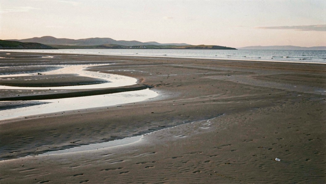
The set closes on the Solway, where the land stops being land twice a day. The flats there are the northern edge of a coast that runs south into the county, and the working of them is described at length in the entry on low water on the Solway.
Conditions recorded across the set
Two patterns run through the whole of this set. The first is that the western Lakes catch a great deal of weather from the Irish Sea and clear from the west, so the productive hour is usually at the back of a front rather than in settled conditions. The second is that the valleys hold cold air on still nights, so the mist that fills Borrowdale or Wasdale before dawn is the same mechanism described in the entry on frost hollows and inversions, working on steeper ground.
Several plates in this set were made in conditions that would send most people home: low cloud on the tops, rain on the lake, no colour anywhere. Those are the ones that have held up best, for the reasons set out in the entry on flat grey light.
The set that follows it moves east and south, onto the gritstone and limestone of the Pennines and the Peak; it is catalogued as British Landscapes 2. The full index of the five sets, with the geography each one covers, is on the archive page.