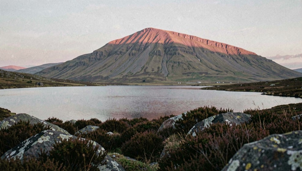
Sheet 06
The British landscape plates
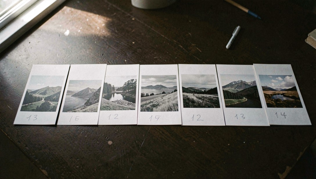
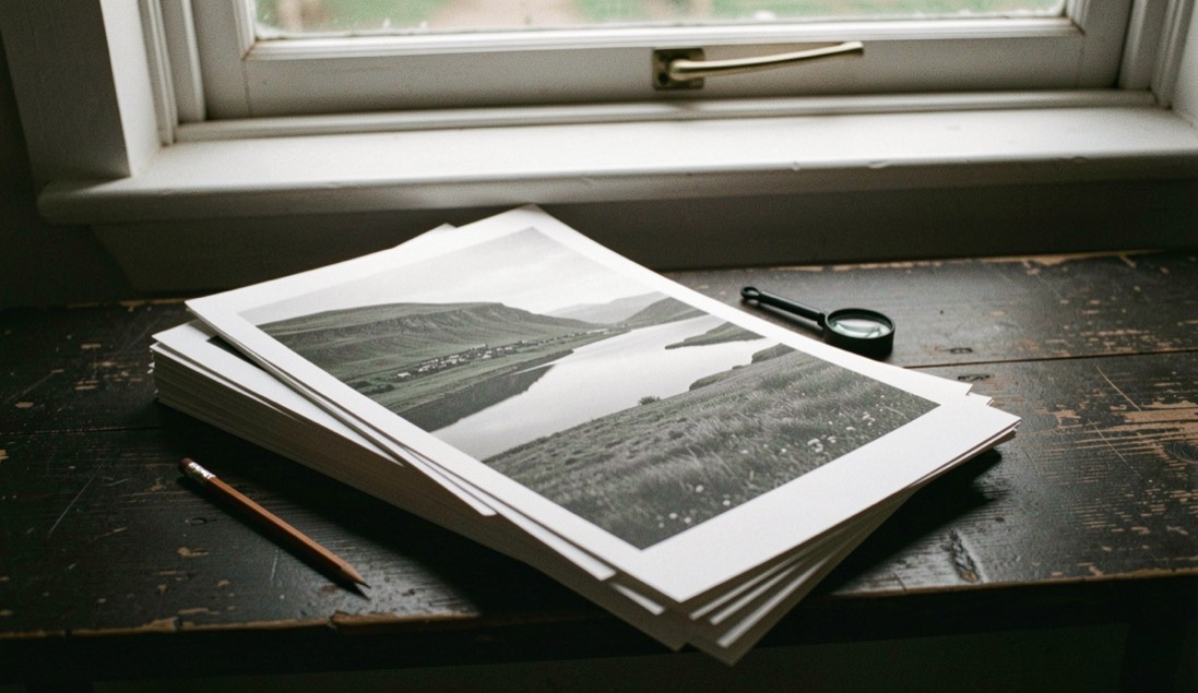
The archive is held in five numbered sets, arranged by country rather than by date, and each plate keeps the four figure number it was given when the set was catalogued. That numbering is not chronological and has never been tidied up, because the numbers are how individual plates are referred to everywhere else. A plate made in February can therefore sit between two made the previous August.
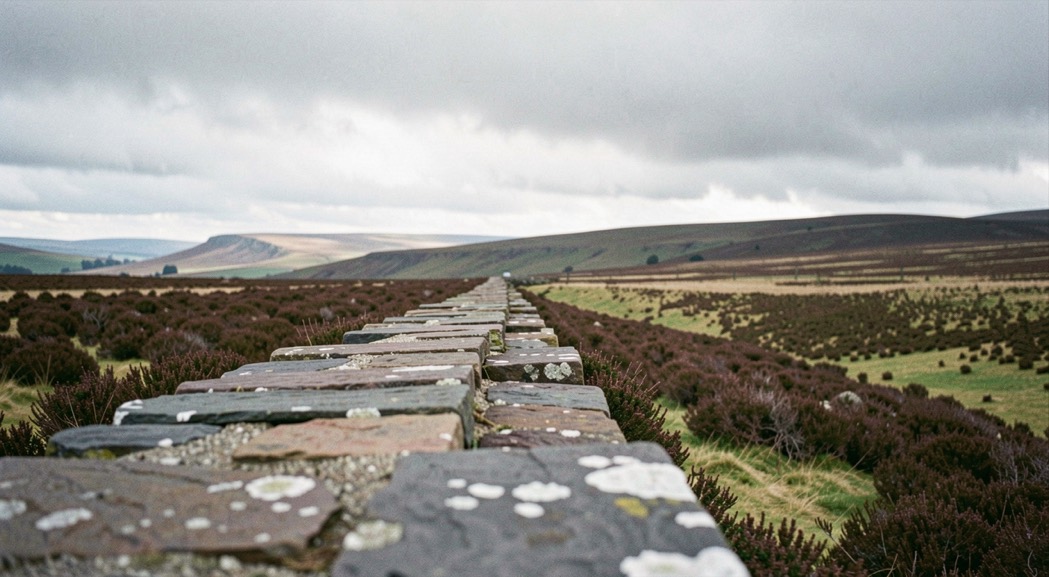
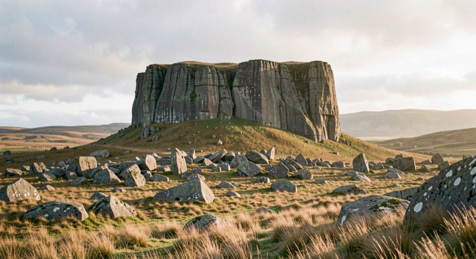
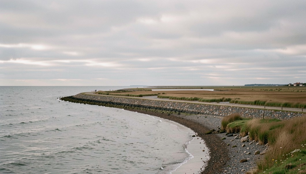
Each set records three things against every plate: where it was made, what the conditions were on the day, and what the frame was trying to do. The first two can be reconstructed from a map and a weather archive if they are ever lost; the third cannot, which is why it is written down at the time. The five sets below run from the north west of England to the Hebrides, and the geography each one covers is given with it.