Coast and Estuary
Reading a surf beach: the bars and rips an angler sees
The man standing in the wash with a long rod is reading the same water you are trying to photograph, only harder. What the bars, rips and gutters of a surf beach look like from above the tide line, and what they do to a frame.
Published 12 September 2026 North Devon, Atlantic coast Field entry
The direct answer is that a surf beach is a map if you know how to read it, and most photographers do not. The water is not a flat margin at the bottom of the frame; it is a set of moving structures, and once you can see where the bars are and where the rips run, you can predict where the spray will be, where the light will sit on broken water, and where the dangerous ground is. The people who read this map for a living are the surf casters, and their reading is more precise than ours.
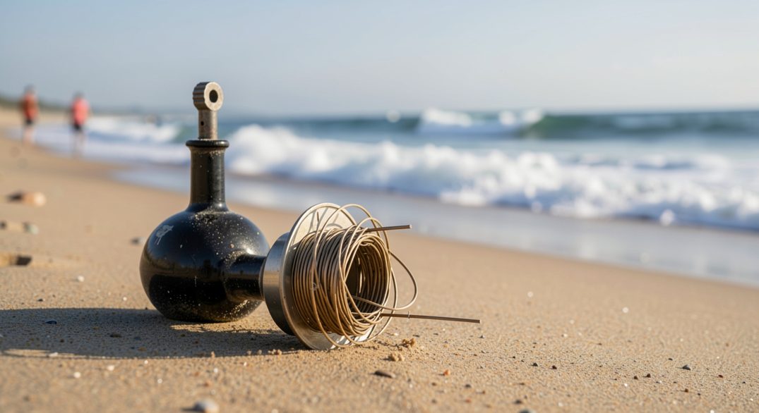
The people who read this water for a living are the surf casters, and their reading is more precise than ours: The Plug Ledger, a field guide to wooden lures worked in surf, devotes its water-reading pages to bars, holes and the cuts where wooden plugs for surf water have to hold in current. Written for fishermen, it is still the clearest introduction to surf structure a photographer is likely to find.
What does a rip look like from above the beach?
From the dune line it looks like a gap in the pattern. The breakers stand up on the bars in even white ranks, and then there is a channel where nothing breaks, darker and smoother, running straight out to sea. That unbroken lane is the rip, the water the waves pushed in escaping back out. To a photographer it is a compositional gift: a dark stripe crossing a bright field, running in the direction you want the eye to go.
Where does the wave break first, and why does that matter?
It breaks where the water is shallowest, which is where the bar is, and it matters because the break is what photographs. A rising sea smoothing over a flat beach gives you nothing but surface. The same sea tripping over a shallow bar gives you a line of white at a fixed distance, and a second line further in if there is an inner bar. Two lines of breakers with a calm channel between them is a ready-made composition; the beach builds it for you.
The state of tide decides which structures are working. At dead low water the outer bar is an island of sand and the sea is too far away to matter. Two hours into the flood the outer bar is submerged, the waves stand up on it, and the whole mechanism becomes visible from the dunes. The window between the water reaching the bar and the water covering it is the one worth being there for, and on a big Atlantic beach it can last ninety minutes or twenty.
What the shore angler knows that we usually do not
That the beach is different after every storm, and that the structures move. A gale can build a bar overnight or cut a new rip channel through an old one, so last month's landmarks are this month's open water. The angler re-reads the beach at the start of every session; the photographer tends to assume the view is the view. It is not, and the morning after a blow is often the best survey there is.
The forecast end of the same reading is public. The Met Office marine and coastal forecasts at metoffice.gov.uk give the swell period and direction alongside the wind, and the period is the number that tells you whether the sets will stand up on a shallow bar or slide over it. Long period, big interval, steep beach: that is the day to be on the dunes.
The approach through the dunes and the choice of stance on marram and soft sand is the same problem the tripod entry sets out for peat and scree; the method in levelling a tripod on three moving surfaces transfers without alteration.
On the ground
A rip reads dark from above and invisible from the water. If you wade for a low angle, wade on the bar, never in the channel, and keep the camera between you and the sea rather than over your shoulder.
Sand gets into tripod joints at knee height, not at ground level. Collapse the legs before you walk through the dry upper beach, not after.
The same habit of reading a place before trusting a description carries inland. A beach is read through bars, rips and the way water moves over sand; a wall or a ruin is read through its stone, its mortar and its repairs. On the Algarve coast, the standing heritage at Sagres, Milreu and Paderne rewards that approach, and the received account of it does not always match what the fabric shows. A companion piece on Algarve stone at Sagres sets out what the masonry and materials actually record, and where tradition runs ahead of the evidence.